


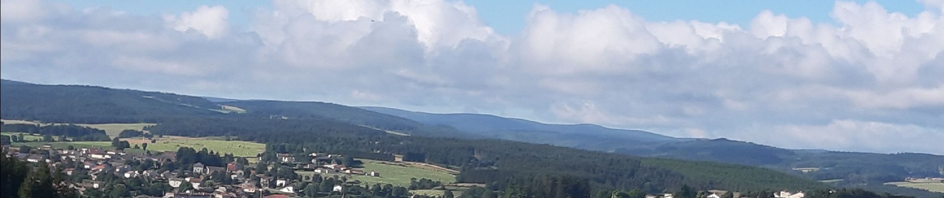
Pradelles Le Cheylard l Eveque

FLORENSAC
User
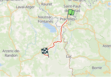

Length
23 km

Max alt
1235 m

Uphill gradient
492 m
Km-Effort
30 km

Min alt
899 m

Downhill gradient
526 m
Boucle
No
Creation date :
2023-07-04 06:12:28.343
Updated on :
2023-07-04 13:43:13.514
7h27
Difficulty : Medium

FREE GPS app for hiking
 SityTrail
IGN / Geographical institutes
SityTrail Plus
The world is yours!
About
Trail Walking of 23 km to be discovered at Auvergne-Rhône-Alpes, Haute-Loire, Pradelles. This trail is proposed by FLORENSAC.
Description
un arret a langogne ou l ete les jours de marché c est
mardi et samedi
prenez de l eau
pas mal de montees
Photos


Positioning
Country:
France
Region :
Auvergne-Rhône-Alpes
Department/Province :
Haute-Loire
Municipality :
Pradelles
Location:
Unknown
Start:(Dec)
Start:(UTM)
569901 ; 4957749 (31T) N.
Comments