


vallon des houerts lacs vert et bleu

Massiac15
User
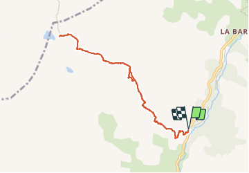

Length
9.4 km

Max alt
2729 m

Uphill gradient
984 m
Km-Effort
23 km

Min alt
1736 m

Downhill gradient
984 m
Boucle
Yes
Creation date :
2023-07-06 06:12:47.0
Updated on :
2023-07-07 16:37:31.851
5h07
Difficulty : Very difficult

FREE GPS app for hiking
 SityTrail
IGN / Geographical institutes
SityTrail Plus
The world is yours!
About
Trail Walking of 9.4 km to be discovered at Provence-Alpes-Côte d'Azur, Alpes-de-Haute-Provence, Saint-Paul-sur-Ubaye. This trail is proposed by Massiac15.
Positioning
Country:
France
Region :
Provence-Alpes-Côte d'Azur
Department/Province :
Alpes-de-Haute-Provence
Municipality :
Saint-Paul-sur-Ubaye
Location:
Unknown
Start:(Dec)
Start:(UTM)
326356 ; 4937357 (32T) N.
Comments