


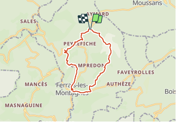

12.9 km | 17.9 km-effort


User


FREE GPS app for hiking
 SityTrail
IGN / Geographical institutes
SityTrail World
The world is yours!
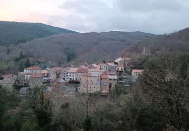
Trail Walking of 12.5 km to be discovered at Occitania, Hérault, Ferrals-les-Montagnes. This trail is proposed by Maxime Dallaston.
Randonnée aux points de vue incroyable, qui commence par retracer un chemin parcouru par la Résistance de la Seconde Guerre, un peu difficile compte tenu du dénivelé cumulé et du retour par la route (le sentier tracé étant probablement beaucoup plus long). Bon courage !

Walking
Walking

On foot

Mountain bike
Walking

On foot
On foot
On foot