


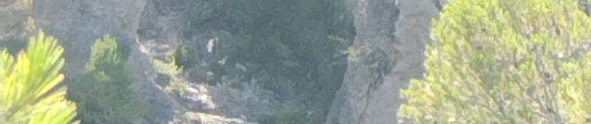
Arche de Moureze

cousam
User


Length
4.8 km

Max alt
345 m

Uphill gradient
164 m
Km-Effort
6.9 km

Min alt
200 m

Downhill gradient
147 m
Boucle
No
Creation date :
2023-07-10 07:33:51.174
Updated on :
2023-07-11 07:16:25.863
2h10
Difficulty : Medium

FREE GPS app for hiking
 SityTrail
IGN / Geographical institutes
SityTrail Plus
The world is yours!
About
Trail Walking of 4.8 km to be discovered at Occitania, Hérault, Mourèze. This trail is proposed by cousam.
Photos


Positioning
Country:
France
Region :
Occitania
Department/Province :
Hérault
Municipality :
Mourèze
Location:
Unknown
Start:(Dec)
Start:(UTM)
529105 ; 4829431 (31T) N.
Comments