


Magnan

Roger Philippe Wallez
User GUIDE


Length
10.1 km

Max alt
943 m

Uphill gradient
304 m
Km-Effort
14.2 km

Min alt
749 m

Downhill gradient
304 m
Boucle
Yes
Creation date :
2023-07-11 08:36:34.0
Updated on :
2023-07-11 18:22:28.301
3h39
Difficulty : Difficult

FREE GPS app for hiking
 SityTrail
IGN / Geographical institutes
SityTrail Plus
The world is yours!
About
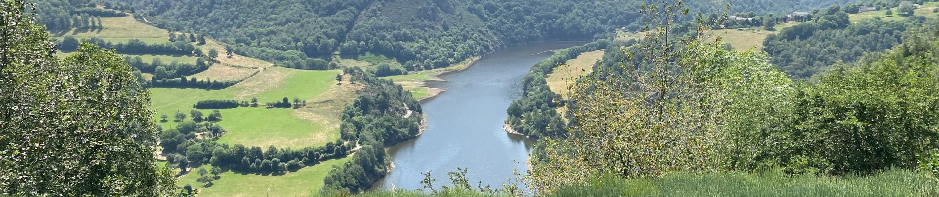
Trail Walking of 10.1 km to be discovered at Auvergne-Rhône-Alpes, Cantal, Fridefont. This trail is proposed by Roger Philippe Wallez.
Photos


Positioning
Country:
France
Region :
Auvergne-Rhône-Alpes
Department/Province :
Cantal
Municipality :
Fridefont
Location:
Unknown
Start:(Dec)
Start:(UTM)
506864 ; 4972030 (31T) N.
Comments