


PROMENADE A BARCELONNETTE

walrou63
User
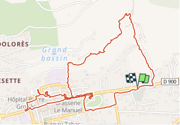

Length
4.1 km

Max alt
1215 m

Uphill gradient
84 m
Km-Effort
5.3 km

Min alt
1137 m

Downhill gradient
85 m
Boucle
Yes
Creation date :
2023-07-12 09:00:30.827
Updated on :
2023-07-12 14:39:49.498
1h17
Difficulty : Easy

FREE GPS app for hiking
 SityTrail
IGN / Geographical institutes
SityTrail Plus
The world is yours!
About
Trail Walking of 4.1 km to be discovered at Provence-Alpes-Côte d'Azur, Alpes-de-Haute-Provence, Barcelonnette. This trail is proposed by walrou63.
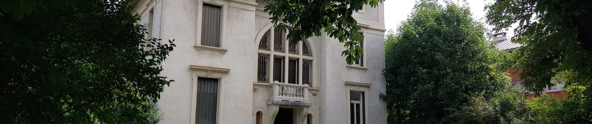
Photos


30 photos in total. Please click on a photo to see them all in the gallery.
Positioning
Country:
France
Region :
Provence-Alpes-Côte d'Azur
Department/Province :
Alpes-de-Haute-Provence
Municipality :
Barcelonnette
Location:
Unknown
Start:(Dec)
Start:(UTM)
313547 ; 4917628 (32T) N.
Comments