


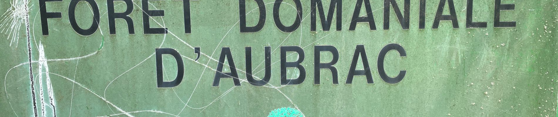
Cascade du devèz et fosse à loup

Roger Philippe Wallez
User GUIDE
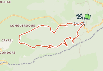

Length
10.8 km

Max alt
1260 m

Uphill gradient
316 m
Km-Effort
15 km

Min alt
1076 m

Downhill gradient
316 m
Boucle
Yes
Creation date :
2023-07-12 09:08:13.0
Updated on :
2023-07-13 08:21:44.852
4h07
Difficulty : Difficult

FREE GPS app for hiking
 SityTrail
IGN / Geographical institutes
SityTrail Plus
The world is yours!
About
Trail Walking of 10.8 km to be discovered at Occitania, Aveyron, Curières. This trail is proposed by Roger Philippe Wallez.
Photos


Positioning
Country:
France
Region :
Occitania
Department/Province :
Aveyron
Municipality :
Curières
Location:
Unknown
Start:(Dec)
Start:(UTM)
494881 ; 4944236 (31T) N.
Comments