


Larochette-Mullerthal

edevuyst
User
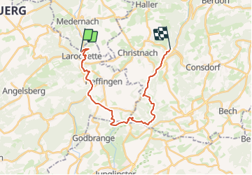

Length
20 km

Max alt
397 m

Uphill gradient
527 m
Km-Effort
27 km

Min alt
211 m

Downhill gradient
581 m
Boucle
No
Creation date :
2023-07-13 14:06:48.455
Updated on :
2023-07-13 14:07:08.437
6h12
Difficulty : Very difficult

FREE GPS app for hiking
 SityTrail
IGN / Geographical institutes
SityTrail Plus
The world is yours!
About
Trail Walking of 20 km to be discovered at Unknown, Canton Mersch, Larochette. This trail is proposed by edevuyst.
Positioning
Country:
Luxembourg
Region :
Unknown
Department/Province :
Canton Mersch
Municipality :
Larochette
Location:
Unknown
Start:(Dec)
Start:(UTM)
299778 ; 5518928 (32U) N.
Comments