


Enva

georghinio
User


Length
3.9 km

Max alt
597 m

Uphill gradient
126 m
Km-Effort
5.6 km

Min alt
448 m

Downhill gradient
135 m
Boucle
Yes
Creation date :
2023-07-15 08:31:53.0
Updated on :
2023-07-15 09:38:35.932

FREE GPS app for hiking
 SityTrail
IGN / Geographical institutes
SityTrail Plus
The world is yours!
About
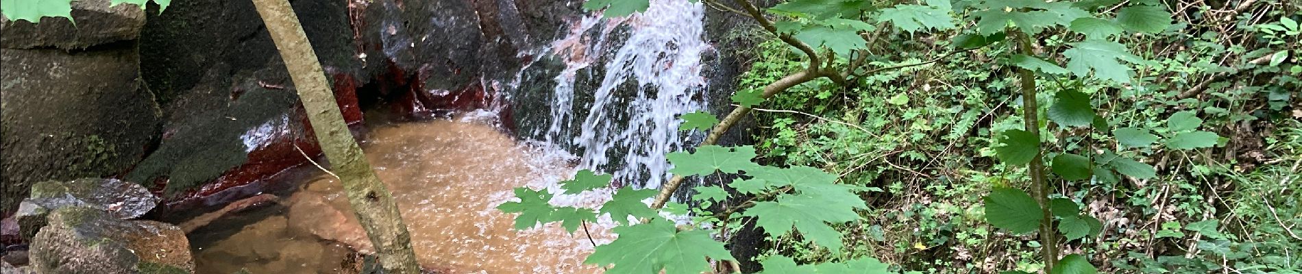
Trail of 3.9 km to be discovered at Auvergne-Rhône-Alpes, Puy-de-Dôme, Enval. This trail is proposed by georghinio.
Photos


Positioning
Country:
France
Region :
Auvergne-Rhône-Alpes
Department/Province :
Puy-de-Dôme
Municipality :
Enval
Location:
Unknown
Start:(Dec)
Start:(UTM)
503574 ; 5082769 (31T) N.
Comments