


de Craponne à Brindas .

maclobar
User
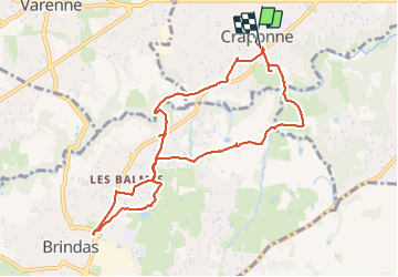

Length
9.5 km

Max alt
307 m

Uphill gradient
151 m
Km-Effort
11.5 km

Min alt
234 m

Downhill gradient
156 m
Boucle
Yes
Creation date :
2023-07-15 11:15:12.301
Updated on :
2023-07-15 15:09:42.306
2h08
Difficulty : Medium

FREE GPS app for hiking
 SityTrail
IGN / Geographical institutes
SityTrail Plus
The world is yours!
About
Trail Walking of 9.5 km to be discovered at Auvergne-Rhône-Alpes, Métropole de Lyon, Craponne. This trail is proposed by maclobar.
Description
départ du cimetière chemins balisés puis retour par GPS au hasard des balisages. pas mal de goudron. pas de bruit .campagne.
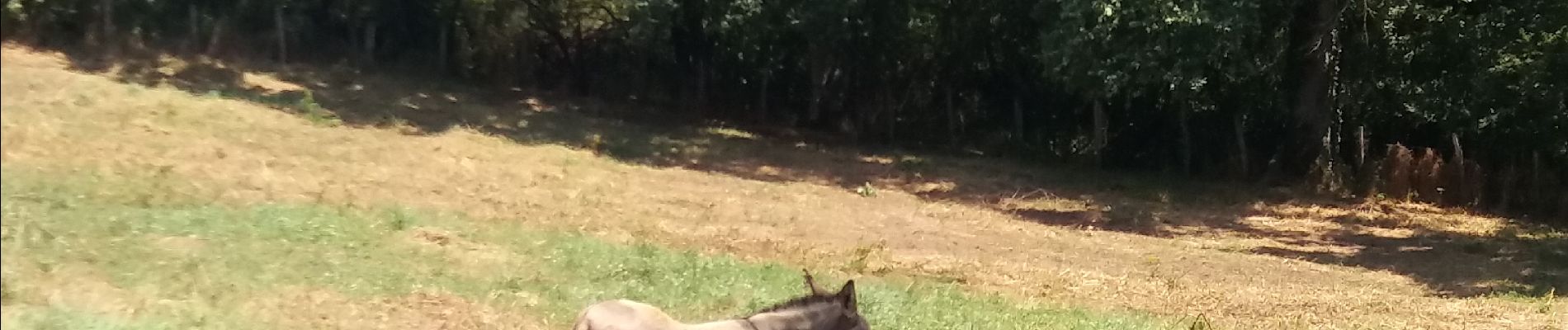
Photos


Positioning
Country:
France
Region :
Auvergne-Rhône-Alpes
Department/Province :
Métropole de Lyon
Municipality :
Craponne
Location:
Unknown
Start:(Dec)
Start:(UTM)
634028 ; 5066915 (31T) N.
Comments