


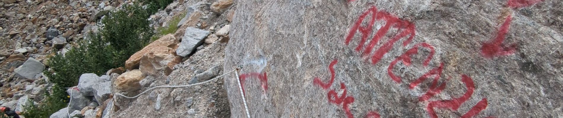
Macugnaga - Belvedere

i20
User
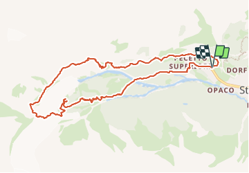

Length
11 km

Max alt
1982 m

Uphill gradient
665 m
Km-Effort
19.9 km

Min alt
1354 m

Downhill gradient
669 m
Boucle
Yes
Creation date :
2023-07-16 08:48:01.431
Updated on :
2023-07-16 12:30:58.856
3h42
Difficulty : Difficult

FREE GPS app for hiking
 SityTrail
IGN / Geographical institutes
SityTrail Plus
The world is yours!
About
Trail Walking of 11 km to be discovered at Piemont, Verbano-Cusio-Ossola, Macugnaga. This trail is proposed by i20.
Photos


Positioning
Country:
Italy
Region :
Piemont
Department/Province :
Verbano-Cusio-Ossola
Municipality :
Macugnaga
Location:
Unknown
Start:(Dec)
Start:(UTM)
419286 ; 5091436 (32T) N.
Comments