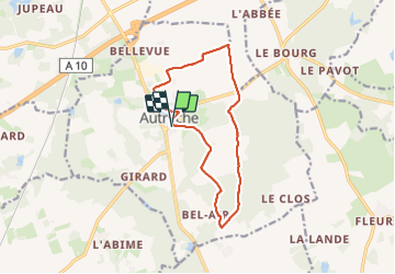
Trail Walking Autrèche - Autrèche - Photo
 guydu41
guydu41

User

© OpenStreetMap contributors
Length
Length
12.3 km
Max alt
Max alt
126 m
Uphill gradient
Uphill gradient
106 m
Km-Effort
Km-Effort  
13.7 km
Min alt
Min alt
94 m
Downhill gradient
Downhill gradient
106 m
Boucle
Boucle
Yes
Creation date :
2023-07-16 05:45:46.223
Updated on :
2023-07-16 12:54:09.672

(0 Reviews)

Walking
Walking
3h06
Difficulty : Easy

Scan this QR Code to open this trail in the SityTrail application

FREE GPS app for hiking

Logo SityTrail SityTrail

IGN / Geographical institutes

Download SityTrail from the App Store Download SityTrail from Google Play

Logo SityTrail SityTrail Plus

The world is yours!

Download SityTrail from the App Store Download SityTrail from Google Play Download SityTrail on Huawei AppGallery

About

Trail Walking of 12.3 km to be discovered at Centre-Loire Valley, Indre-et-Loire, Autrèche. This trail is proposed by guydu41.

Description

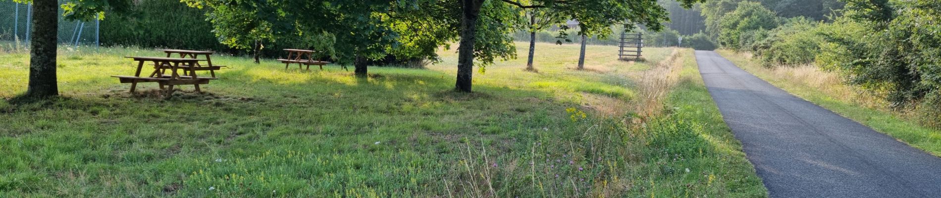
Petit circuit très bien balisé (jaune et/ou rouge) sur chemins à travers bois et champs.
Passage à côté d'un petit aérodrome (base ULM de Morand) perdu au milieu des champs, bordé de blocs en ciment et bien entretenu ?

Elevation profile

Photos

Positioning

Country:
France
Region :
Centre-Loire Valley
Department/Province :
Indre-et-Loire
Municipality :
Autrèche
Location:
Unknown
Start:(UTM)
349217 ; 5265437 (31T) N.


Close
My subscriptions