


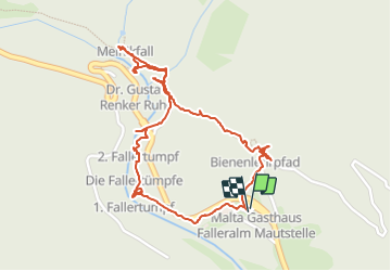

4.2 km | 5.6 km-effort


User


FREE GPS app for hiking
 SityTrail
IGN / Geographical institutes
SityTrail World
The world is yours!
Trail Walking of 2.6 km to be discovered at Carinthia, Bezirk Spittal an der Drau, Malta. This trail is proposed by maarten.avet.
Rondgang aan de Malteiner wasserspiele 1h


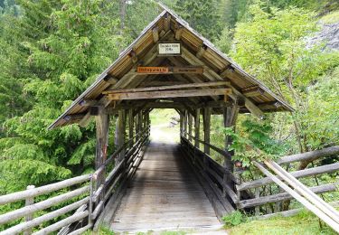
On foot