


uj

claudel
User
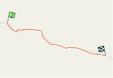

Length
316 m

Max alt
2579 m

Uphill gradient
0 m
Km-Effort
499 m

Min alt
2509 m

Downhill gradient
55 m
Boucle
No
Creation date :
2023-07-11 13:12:29.735
Updated on :
2023-07-19 09:42:04.503
5m
Difficulty : Very easy

FREE GPS app for hiking
 SityTrail
IGN / Geographical institutes
SityTrail Plus
The world is yours!
About
Trail Trail of 316 m to be discovered at Provence-Alpes-Côte d'Azur, Hautes-Alpes, Ceillac. This trail is proposed by claudel.
Positioning
Country:
France
Region :
Provence-Alpes-Côte d'Azur
Department/Province :
Hautes-Alpes
Municipality :
Ceillac
Location:
Unknown
Start:(Dec)
Start:(UTM)
319475 ; 4946002 (32T) N.
Comments