


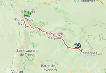
Bedoues - cassagnas espace Stevenson

lfallek
User

Length
18.1 km

Max alt
720 m

Uphill gradient
443 m
Km-Effort
24 km

Min alt
546 m

Downhill gradient
288 m
Boucle
No
Creation date :
2023-07-19 07:02:13.0
Updated on :
2023-07-19 15:08:35.645
4h03
Difficulty : Medium

FREE GPS app for hiking
 SityTrail
IGN / Geographical institutes
SityTrail Plus
The world is yours!
About
Trail Walking of 18.1 km to be discovered at Occitania, Lozère, Florac Trois Rivières. This trail is proposed by lfallek.
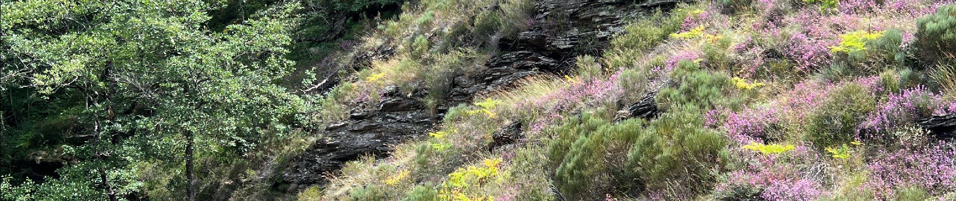
Photos


Positioning
Country:
France
Region :
Occitania
Department/Province :
Lozère
Municipality :
Florac Trois Rivières
Location:
Florac
Start:(Dec)
Start:(UTM)
547385 ; 4908210 (31T) N.
Comments