


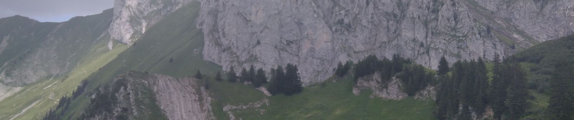
tour entre la vallée de Bise et d'Ubine

davvin13
User
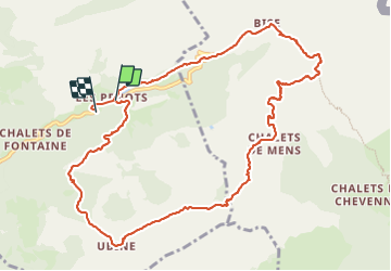

Length
11.9 km

Max alt
1856 m

Uphill gradient
686 m
Km-Effort
21 km

Min alt
1302 m

Downhill gradient
732 m
Boucle
No
Creation date :
2023-07-19 10:07:50.766
Updated on :
2023-07-19 15:38:37.998
4h00
Difficulty : Medium

FREE GPS app for hiking
 SityTrail
IGN / Geographical institutes
SityTrail Plus
The world is yours!
About
Trail Walking of 11.9 km to be discovered at Auvergne-Rhône-Alpes, Upper Savoy, Vacheresse. This trail is proposed by davvin13.
Photos


Positioning
Country:
France
Region :
Auvergne-Rhône-Alpes
Department/Province :
Upper Savoy
Municipality :
Vacheresse
Location:
Unknown
Start:(Dec)
Start:(UTM)
326190 ; 5132384 (32T) N.
Comments