


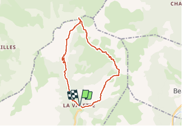

11.7 km | 23 km-effort


User


FREE GPS app for hiking
 SityTrail
IGN / Geographical institutes
SityTrail World
The world is yours!
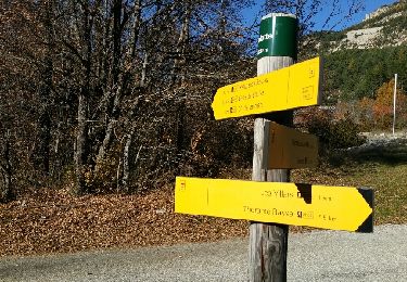
Trail Walking of 15.5 km to be discovered at Provence-Alpes-Côte d'Azur, Alpes-de-Haute-Provence, Thorame-Basse. This trail is proposed by Migueldefrance.
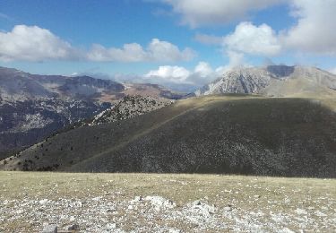
La fin sur le GR horible. GR très mal tracé en pente très raide en éboulis.

Walking
Walking
Walking
Walking

Mountain bike
Running

Walking
Walking

Mountain bike