


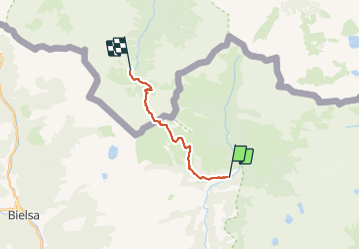

12.6 km | 26 km-effort

User


FREE GPS app for hiking
 SityTrail
IGN / Geographical institutes
SityTrail World
The world is yours!
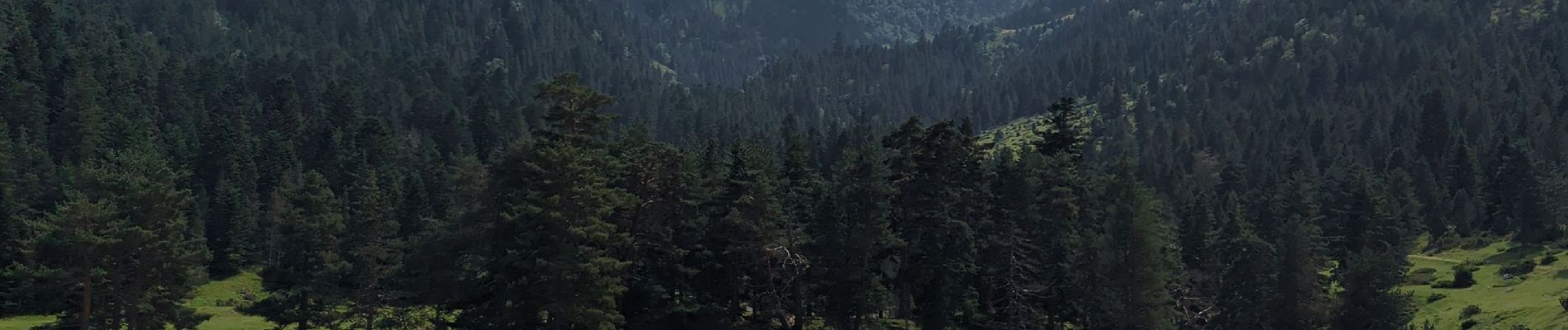
Trail Walking of 13.9 km to be discovered at Aragon, Huesca, Gistaín. This trail is proposed by AdrienB.
Trajet fait par des immigrés Espagnols au temps de Franco.
Traversée par le Port de Plan Borne 327.


Walking

Walking