Trail Walking Aydat - Fohet_Landes - Photo
 jagarnier
jagarnier

User GUIDE

© OpenStreetMap contributors
Length
Length
13.1 km
Max alt
Max alt
962 m
Uphill gradient
Uphill gradient
277 m
Km-Effort
Km-Effort  
16.8 km
Min alt
Min alt
784 m
Downhill gradient
Downhill gradient
276 m
Boucle
Boucle
Yes
Creation date :
2023-07-23 12:18:38.521
Updated on :
2023-07-23 15:17:12.422

(1 Reviews)

Walking
Walking
4h00
Difficulty : Medium

Scan this QR Code to open this trail in the SityTrail application

FREE GPS app for hiking

Logo SityTrail SityTrail

IGN / Geographical institutes

Download SityTrail from the App Store Download SityTrail from Google Play

Logo SityTrail SityTrail Plus

The world is yours!

Download SityTrail from the App Store Download SityTrail from Google Play Download SityTrail on Huawei AppGallery

About

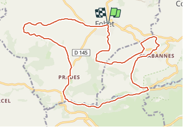
Trail Walking of 13.1 km to be discovered at Auvergne-Rhône-Alpes, Puy-de-Dôme, Aydat. This trail is proposed by jagarnier.

Description

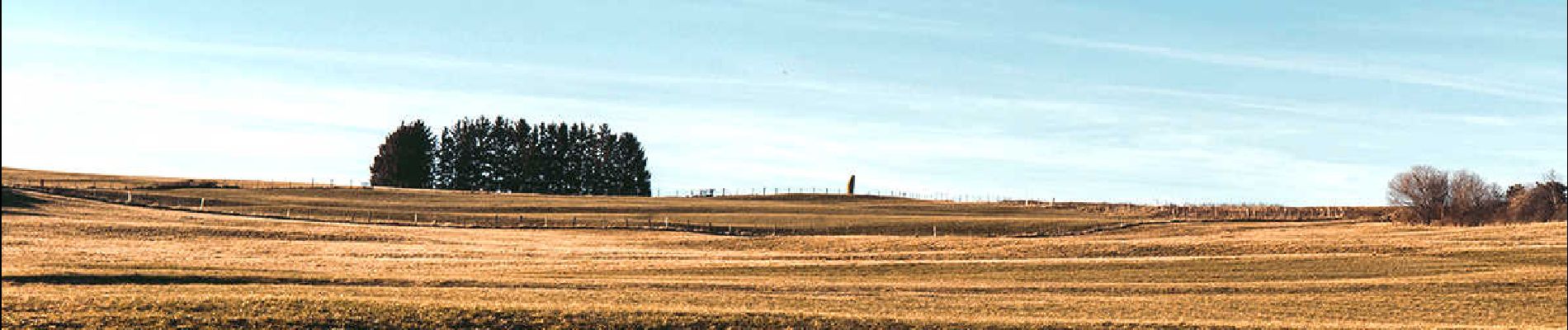
Randonnée à travers les landes, parsemées d'affleurements rocheux, où paissent vaches ou moutons sur les hauteurs d'Aydat. De jolies vues sur la Chaîne des Puys et les Monts Dore. Un passage rafraîchissant en bord de Monne.

Elevation profile

Photos

Positioning

Country:
France
Region :
Auvergne-Rhône-Alpes
Department/Province :
Puy-de-Dôme
Municipality :
Aydat
Location:
Unknown
Start:(UTM)
500293 ; 5054306 (31T) N.

Comments

Please log in to post a review or rate the element


Close
My subscriptions