


Issoire_Broc

jagarnier
User GUIDE
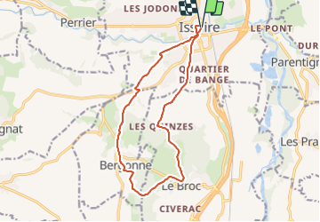

Length
14.2 km

Max alt
558 m

Uphill gradient
260 m
Km-Effort
17.7 km

Min alt
383 m

Downhill gradient
258 m
Boucle
Yes
Creation date :
2023-07-24 07:56:36.012
Updated on :
2023-07-25 07:14:19.178
4h15
Difficulty : Medium

FREE GPS app for hiking
 SityTrail
IGN / Geographical institutes
SityTrail Plus
The world is yours!
About
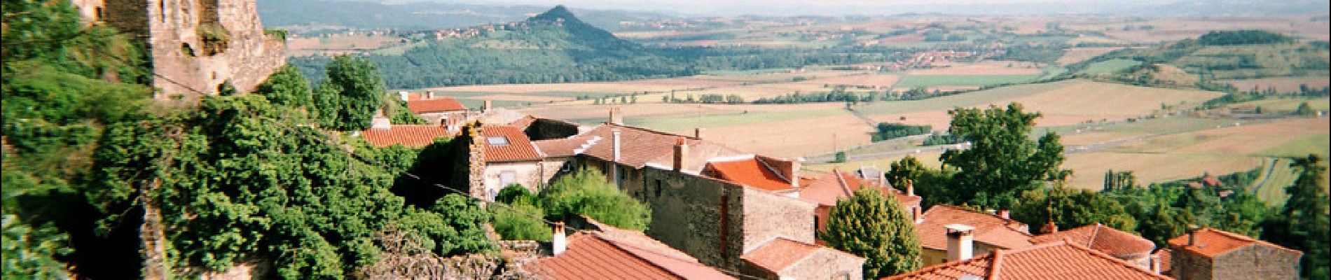
Trail Walking of 14.2 km to be discovered at Auvergne-Rhône-Alpes, Puy-de-Dôme, Issoire. This trail is proposed by jagarnier.
Photos

Positioning
Country:
France
Region :
Auvergne-Rhône-Alpes
Department/Province :
Puy-de-Dôme
Municipality :
Issoire
Location:
Unknown
Start:(Dec)
Start:(UTM)
519607 ; 5043349 (31T) N.
Comments