


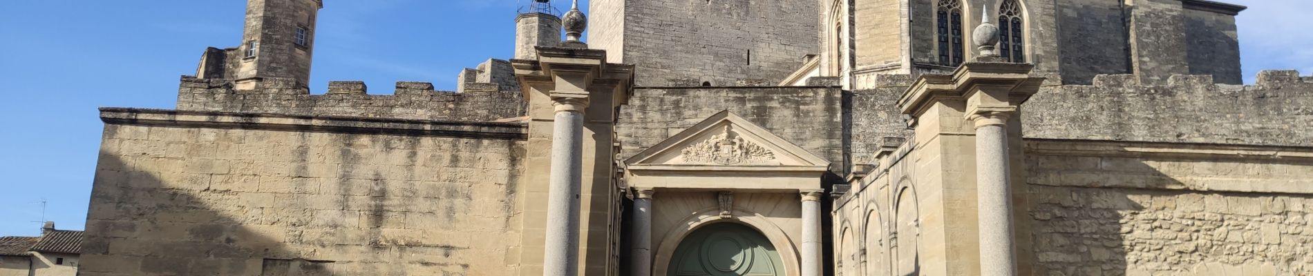
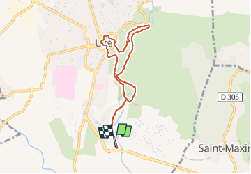
Uzès - source de l’Eure

rando30129
User

Length
8.1 km

Max alt
143 m

Uphill gradient
109 m
Km-Effort
9.5 km

Min alt
61 m

Downhill gradient
108 m
Boucle
Yes
Creation date :
2023-07-25 06:17:38.341
Updated on :
2025-05-16 07:41:37.764
2h10
Difficulty : Medium

FREE GPS app for hiking
 SityTrail
IGN / Geographical institutes
SityTrail Plus
The world is yours!
About
Trail Walking of 8.1 km to be discovered at Occitania, Gard, Uzès. This trail is proposed by rando30129.
Photos


Positioning
Country:
France
Region :
Occitania
Department/Province :
Gard
Municipality :
Uzès
Location:
Unknown
Start:(Dec)
Start:(UTM)
614010 ; 4872160 (31T) N.
Comments