


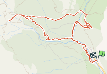
Cascade de Cinca

Evelyne Bouchereau
User

Length
9.8 km

Max alt
1649 m

Uphill gradient
518 m
Km-Effort
16.7 km

Min alt
1271 m

Downhill gradient
521 m
Boucle
Yes
Creation date :
2023-07-25 07:18:04.519
Updated on :
2023-07-25 11:39:46.231
3h05
Difficulty : Difficult

FREE GPS app for hiking
 SityTrail
IGN / Geographical institutes
SityTrail Plus
The world is yours!
About
Trail Walking of 9.8 km to be discovered at Aragon, Huesca, Bielsa. This trail is proposed by Evelyne Bouchereau.
Positioning
Country:
Spain
Region :
Aragon
Department/Province :
Huesca
Municipality :
Bielsa
Location:
Unknown
Start:(Dec)
Start:(UTM)
261321 ; 4729059 (31T) N.
Comments