


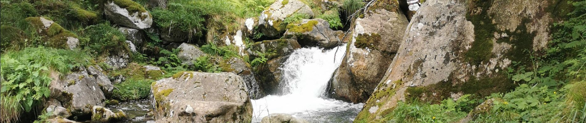
refuge larribet par lac suyen

fbienmuller
User


Length
12 km

Max alt
2058 m

Uphill gradient
629 m
Km-Effort
20 km

Min alt
1463 m

Downhill gradient
628 m
Boucle
Yes
Creation date :
2023-07-27 08:11:22.344
Updated on :
2023-07-27 14:54:03.048
5h04
Difficulty : Medium

FREE GPS app for hiking
 SityTrail
IGN / Geographical institutes
SityTrail Plus
The world is yours!
About
Trail Walking of 12 km to be discovered at Occitania, Hautespyrenees, Arrens-Marsous. This trail is proposed by fbienmuller.
Photos


Positioning
Country:
France
Region :
Occitania
Department/Province :
Hautespyrenees
Municipality :
Arrens-Marsous
Location:
Unknown
Start:(Dec)
Start:(UTM)
722890 ; 4751612 (30T) N.
Comments