


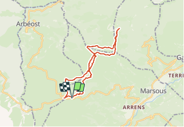
col de soulor, lac de soum, col de bazes, col de soulor

fbienmuller
User

Length
16.4 km

Max alt
1602 m

Uphill gradient
524 m
Km-Effort
23 km

Min alt
1429 m

Downhill gradient
523 m
Boucle
Yes
Creation date :
2023-07-28 07:59:43.395
Updated on :
2023-07-28 14:06:55.507
5h20
Difficulty : Medium

FREE GPS app for hiking
 SityTrail
IGN / Geographical institutes
SityTrail Plus
The world is yours!
About
Trail Walking of 16.4 km to be discovered at Occitania, Hautespyrenees, Arrens-Marsous. This trail is proposed by fbienmuller.
Description
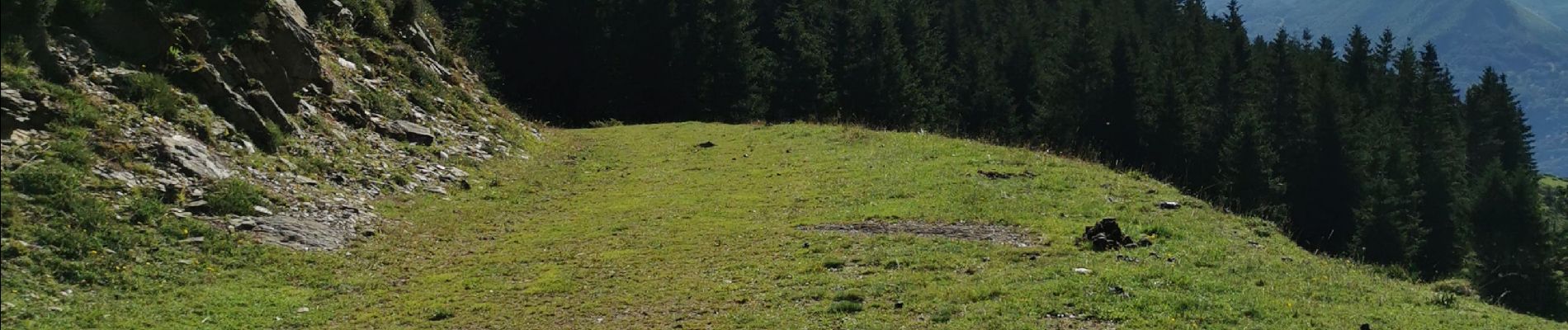
Beaux paysages mais pas d'ombres (sauf début de balade)
Photos


32 photos in total. Please click on a photo to see them all in the gallery.
Positioning
Country:
France
Region :
Occitania
Department/Province :
Hautespyrenees
Municipality :
Arrens-Marsous
Location:
Unknown
Start:(Dec)
Start:(UTM)
723806 ; 4760123 (30T) N.
Comments