


tupigny

alainwald
User
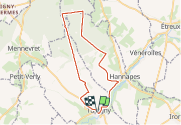

Length
14.3 km

Max alt
187 m

Uphill gradient
195 m
Km-Effort
16.9 km

Min alt
100 m

Downhill gradient
195 m
Boucle
Yes
Creation date :
2023-07-08 13:18:59.219
Updated on :
2023-07-30 14:44:46.89
3h41
Difficulty : Easy

FREE GPS app for hiking
 SityTrail
IGN / Geographical institutes
SityTrail Plus
The world is yours!
About
Trail Walking of 14.3 km to be discovered at Hauts-de-France, Aisne, Tupigny. This trail is proposed by alainwald.
Description
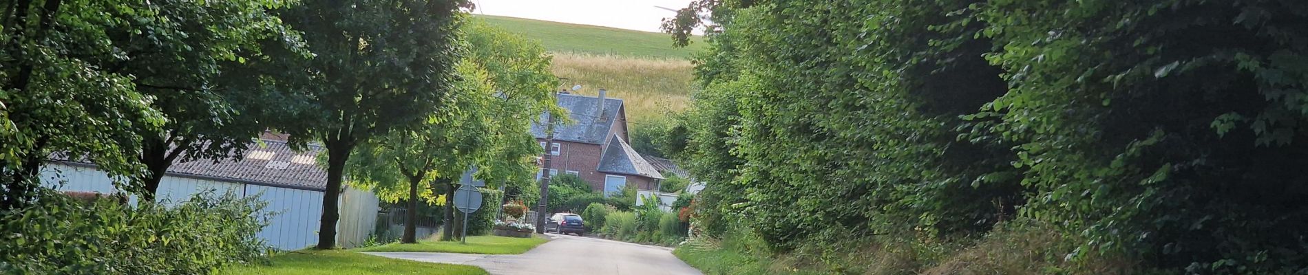
marche plaine et forêt d'andigny
Photos


Positioning
Country:
France
Region :
Hauts-de-France
Department/Province :
Aisne
Municipality :
Tupigny
Location:
Unknown
Start:(Dec)
Start:(UTM)
543578 ; 5534036 (31U) N.
Comments