


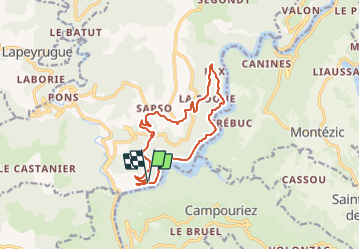

19.1 km | 30 km-effort


User


FREE GPS app for hiking
 SityTrail
IGN / Geographical institutes
SityTrail World
The world is yours!
Trail Walking of 13.7 km to be discovered at Occitania, Aveyron, Saint-Hippolyte. This trail is proposed by neoroll44.
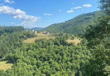
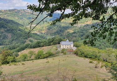
Tout en surplombant le lac de Couesques, une randonnée hors du temps où l’on rencontre une nature et un habitat encore protégés.
Mountain bike
Walking

Mountain bike

Walking
Walking
Walking

Running
Mountain bike
Walking