


Canal de Gardanne 500m+ (à essayer)

ericberlin
User

Length
27 km

Max alt
419 m

Uphill gradient
485 m
Km-Effort
33 km

Min alt
231 m

Downhill gradient
489 m
Boucle
Yes
Creation date :
2023-08-02 13:58:45.466
Updated on :
2023-08-02 14:07:40.131
2h18
Difficulty : Difficult

FREE GPS app for hiking
 SityTrail
IGN / Geographical institutes
SityTrail Plus
The world is yours!
About
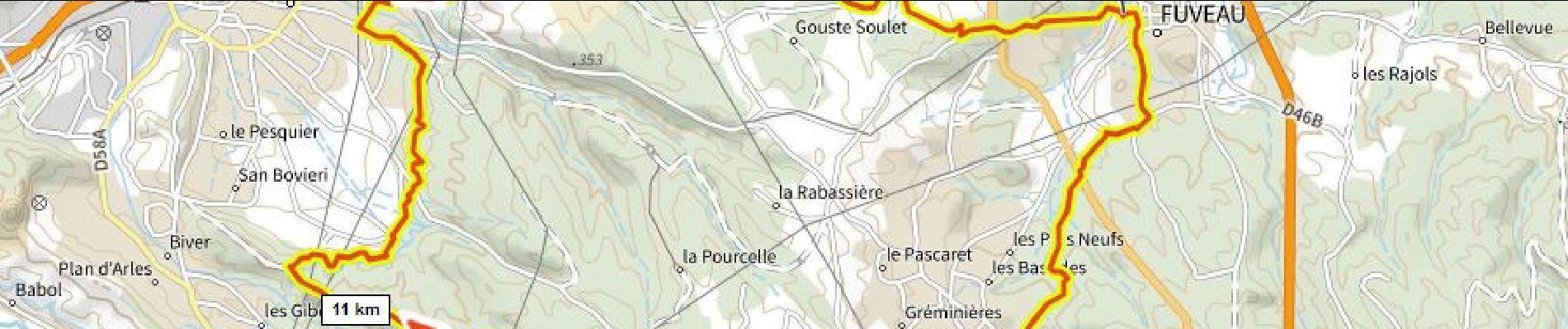
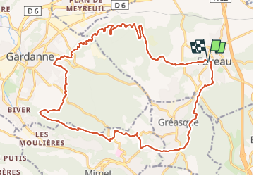
Trail Mountain bike of 27 km to be discovered at Provence-Alpes-Côte d'Azur, Bouches-du-Rhône, Fuveau. This trail is proposed by ericberlin.
Description
tracé sur carte à essayer
Photos
 - Photo 1")
Positioning
Country:
France
Region :
Provence-Alpes-Côte d'Azur
Department/Province :
Bouches-du-Rhône
Municipality :
Fuveau
Location:
Unknown
Start:(Dec)
Start:(UTM)
706984 ; 4814346 (31T) N.
Comments