


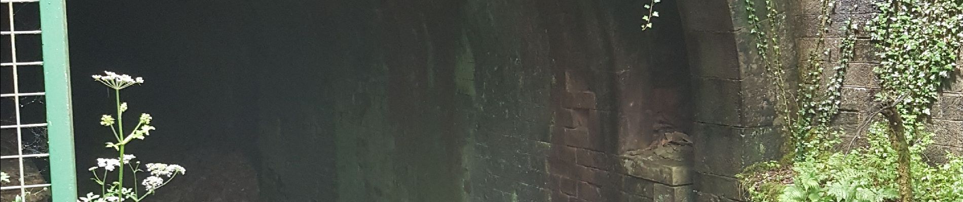
Canal souterrain de la Haute-Saône

Bart2015
User


3h03
Difficulty : Difficult

FREE GPS app for hiking
 SityTrail
IGN / Geographical institutes
SityTrail Plus
The world is yours!
About
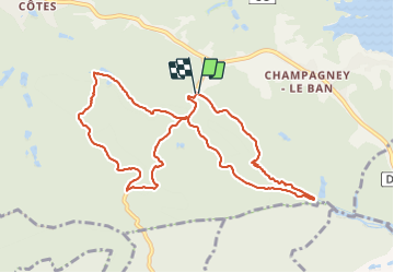
Trail Walking of 10.1 km to be discovered at Bourgogne-Franche-Comté, Haute-Saône, Champagney. This trail is proposed by Bart2015.
Description
Cette randonnée longe le canal souterrain de la Haute-Saône qui devait relier le canal du Rhône au Rhin à la Saône. Projet démarré en 1884 pour s'arrêter en 1909 sans atteindre l'objectif fixé (28,6 km réalisés sur les 85 km prévus). Elle permet de voir les extrémités du tunnel.
Bonne rando ...
Photos


Positioning
Comments