


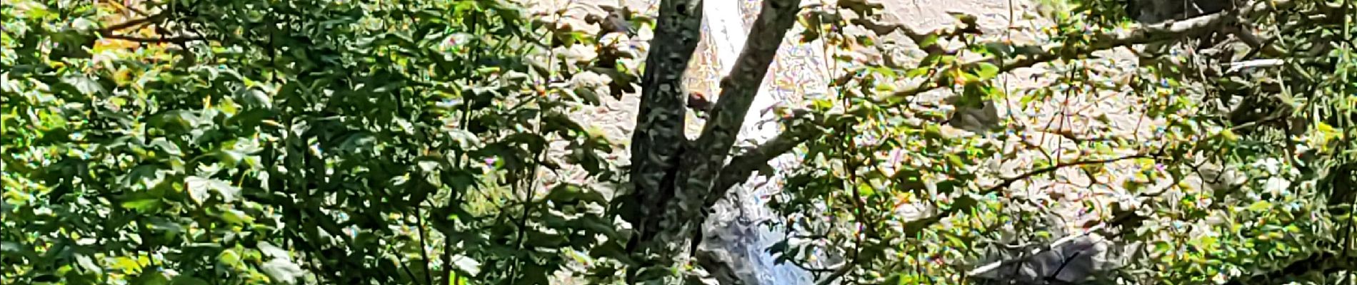
Oz en Oisans Cacade du Roubier

kephas
User
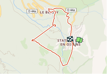

Length
4.9 km

Max alt
1409 m

Uphill gradient
294 m
Km-Effort
8.9 km

Min alt
1134 m

Downhill gradient
298 m
Boucle
Yes
Creation date :
2023-08-02 11:56:00.433
Updated on :
2023-08-02 15:05:44.236
2h21
Difficulty : Easy

FREE GPS app for hiking
 SityTrail
IGN / Geographical institutes
SityTrail Plus
The world is yours!
About
Trail Walking of 4.9 km to be discovered at Auvergne-Rhône-Alpes, Isère, Oz. This trail is proposed by kephas.
Description
Circuit depuis Oz Station
Photos

Positioning
Country:
France
Region :
Auvergne-Rhône-Alpes
Department/Province :
Isère
Municipality :
Oz
Location:
Unknown
Start:(Dec)
Start:(UTM)
269874 ; 5001399 (32T) N.
Comments