


9.3 km | 18.4 km-effort

User


FREE GPS app for hiking
 SityTrail
IGN / Geographical institutes
SityTrail World
The world is yours!
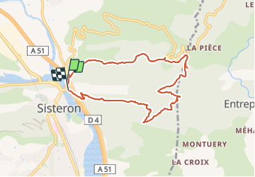
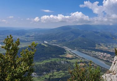
Trail Walking of 8.9 km to be discovered at Provence-Alpes-Côte d'Azur, Alpes-de-Haute-Provence, Sisteron. This trail is proposed by cousam.
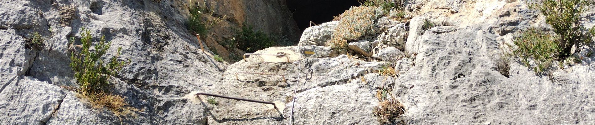
passage avec cables
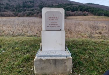
A faire à l'envers


Walking

Walking
Walking
Walking

Walking

Walking

Walking
Walking
Walking