


Chapelle St Pons

cousam
User

Length
8.4 km

Max alt
945 m

Uphill gradient
443 m
Km-Effort
14.3 km

Min alt
558 m

Downhill gradient
431 m
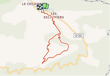
Boucle
Yes
Creation date :
2023-08-04 06:10:07.27
Updated on :
2023-08-05 06:06:43.316
3h29
Difficulty : Difficult

FREE GPS app for hiking
 SityTrail
IGN / Geographical institutes
SityTrail Plus
The world is yours!
About
Trail Walking of 8.4 km to be discovered at Provence-Alpes-Côte d'Azur, Alpes-de-Haute-Provence, Valbelle. This trail is proposed by cousam.
Description
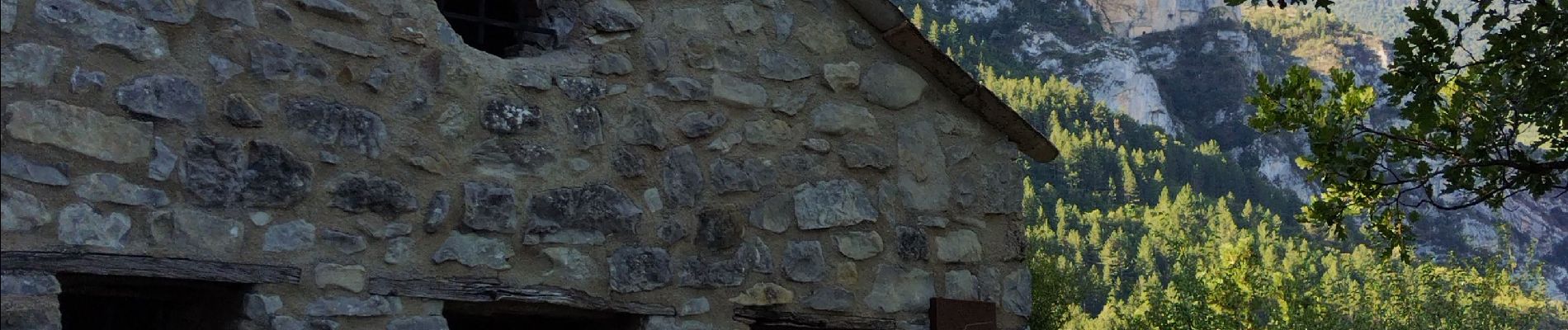
Rando facile jusqu'à la chapelle St Pons.
Attention apres la chapelle suivre les points bleu, passage cablé aérien cheminée vire (prévoir éventuellement baudrier)
Photos


Positioning
Country:
France
Region :
Provence-Alpes-Côte d'Azur
Department/Province :
Alpes-de-Haute-Provence
Municipality :
Valbelle
Location:
Unknown
Start:(Dec)
Start:(UTM)
730357 ; 4892333 (31T) N.
Comments