Le tour des Cerces

Sorriaux
User


Length
17.4 km

Max alt
2767 m

Uphill gradient
930 m
Km-Effort
30 km

Min alt
2022 m

Downhill gradient
1031 m
Boucle
No
Creation date :
2023-08-02 05:46:06.751
Updated on :
2023-08-04 11:49:05.514
6h55
Difficulty : Medium

FREE GPS app for hiking
 SityTrail
IGN / Geographical institutes
SityTrail Plus
The world is yours!
About
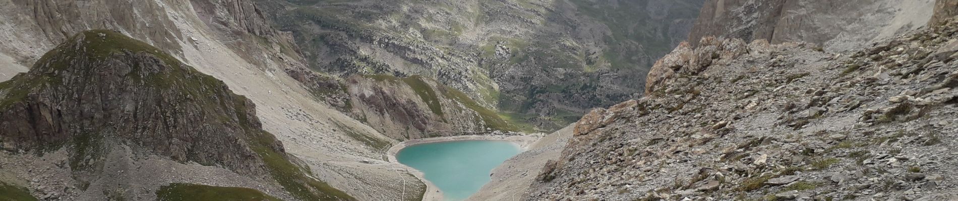
Trail Walking of 17.4 km to be discovered at Provence-Alpes-Côte d'Azur, Hautes-Alpes, Névache. This trail is proposed by Sorriaux.
Description
super on voit 10 lacs
Photos


Positioning
Country:
France
Region :
Provence-Alpes-Côte d'Azur
Department/Province :
Hautes-Alpes
Municipality :
Névache
Location:
Unknown
Start:(Dec)
Start:(UTM)
304726 ; 4992608 (32T) N.
Comments