


Narreyrou

Vinceneux
User
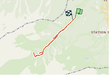

Length
7.4 km

Max alt
2156 m

Uphill gradient
437 m
Km-Effort
13.2 km

Min alt
1761 m

Downhill gradient
426 m
Boucle
Yes
Creation date :
2023-08-04 08:33:43.493
Updated on :
2023-08-04 12:23:32.444
3h48
Difficulty : Difficult

FREE GPS app for hiking
 SityTrail
IGN / Geographical institutes
SityTrail Plus
The world is yours!
About
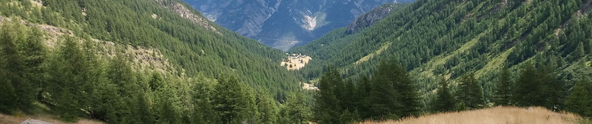
Trail Walking of 7.4 km to be discovered at Provence-Alpes-Côte d'Azur, Hautes-Alpes, Puy-Saint-Vincent. This trail is proposed by Vinceneux.
Photos

Positioning
Country:
France
Region :
Provence-Alpes-Côte d'Azur
Department/Province :
Hautes-Alpes
Municipality :
Puy-Saint-Vincent
Location:
Unknown
Start:(Dec)
Start:(UTM)
299657 ; 4966468 (32T) N.
Comments