


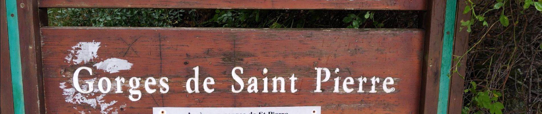
Gorges St Pierre

cousam
User


Length
4.1 km

Max alt
1510 m

Uphill gradient
303 m
Km-Effort
8.2 km

Min alt
1304 m

Downhill gradient
314 m
Boucle
Yes
Creation date :
2023-08-04 12:57:11.411
Updated on :
2023-08-04 14:18:54.714
1h21
Difficulty : Medium

FREE GPS app for hiking
 SityTrail
IGN / Geographical institutes
SityTrail Plus
The world is yours!
About
Trail Walking of 4.1 km to be discovered at Provence-Alpes-Côte d'Azur, Alpes-de-Haute-Provence, Beauvezer. This trail is proposed by cousam.
Photos


Positioning
Country:
France
Region :
Provence-Alpes-Côte d'Azur
Department/Province :
Alpes-de-Haute-Provence
Municipality :
Beauvezer
Location:
Unknown
Start:(Dec)
Start:(UTM)
309090 ; 4888578 (32T) N.
Comments