


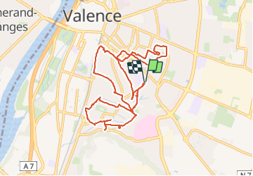
Canaux de Valence

cousam
User

Length
11.1 km

Max alt
132 m

Uphill gradient
59 m
Km-Effort
11.9 km

Min alt
120 m

Downhill gradient
60 m
Boucle
Yes
Creation date :
2023-08-05 12:32:23.279
Updated on :
2023-08-05 16:30:06.393
2h48
Difficulty : Very easy

FREE GPS app for hiking
 SityTrail
IGN / Geographical institutes
SityTrail Plus
The world is yours!
About
Trail Walking of 11.1 km to be discovered at Auvergne-Rhône-Alpes, Drôme, Valence. This trail is proposed by cousam.
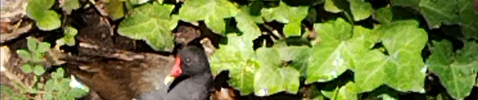
Photos


24 photos in total. Please click on a photo to see them all in the gallery.
Positioning
Country:
France
Region :
Auvergne-Rhône-Alpes
Department/Province :
Drôme
Municipality :
Valence
Location:
Unknown
Start:(Dec)
Start:(UTM)
650361 ; 4976013 (31T) N.
Comments