


lauzerte moissac

fab0202
User
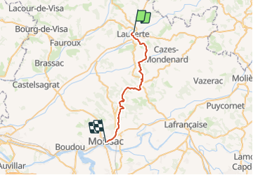

Length
29 km

Max alt
231 m

Uphill gradient
626 m
Km-Effort
38 km

Min alt
73 m

Downhill gradient
746 m
Boucle
No
Creation date :
2023-08-06 05:43:25.799
Updated on :
2023-08-06 14:24:03.054
7h39
Difficulty : Medium

FREE GPS app for hiking
 SityTrail
IGN / Geographical institutes
SityTrail Plus
The world is yours!
About
Trail Walking of 29 km to be discovered at Occitania, Tarn-et-Garonne, Lauzerte. This trail is proposed by fab0202.
Description
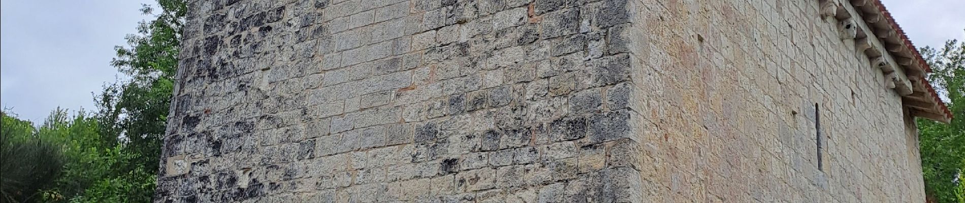
belle rando avec campagne chapelle et pigeonnier. En fin de randonnée beaucoup de route.
Photos


Positioning
Country:
France
Region :
Occitania
Department/Province :
Tarn-et-Garonne
Municipality :
Lauzerte
Location:
Unknown
Start:(Dec)
Start:(UTM)
351524 ; 4902297 (31T) N.
Comments