


38 Chapareillan réel

jeanlucm88
User

Length
8.6 km

Max alt
943 m

Uphill gradient
408 m
Km-Effort
14 km

Min alt
568 m

Downhill gradient
414 m
Boucle
Yes
Creation date :
2023-08-07 07:59:43.169
Updated on :
2023-08-07 15:07:37.248
3h00
Difficulty : Medium

FREE GPS app for hiking
 SityTrail
IGN / Geographical institutes
SityTrail Plus
The world is yours!
About
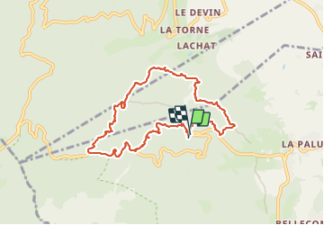
Trail Walking of 8.6 km to be discovered at Auvergne-Rhône-Alpes, Isère, Chapareillan. This trail is proposed by jeanlucm88.
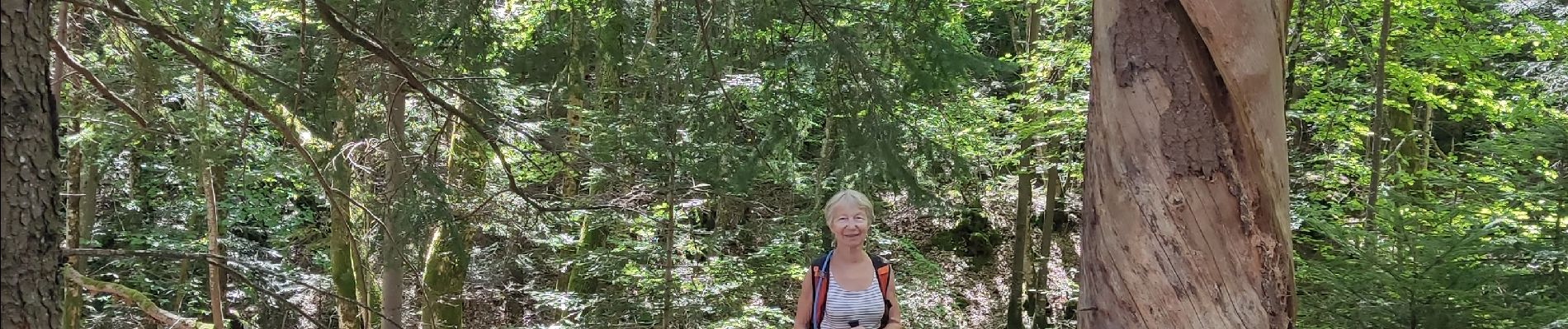
Photos


Positioning
Country:
France
Region :
Auvergne-Rhône-Alpes
Department/Province :
Isère
Municipality :
Chapareillan
Location:
Unknown
Start:(Dec)
Start:(UTM)
730378 ; 5040496 (31T) N.
Comments