


1

berlage
User
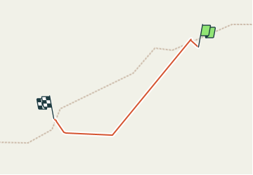

Length
125 m

Max alt
2576 m

Uphill gradient
6 m
Km-Effort
185 m

Min alt
2564 m

Downhill gradient
0 m
Boucle
No
Creation date :
2023-07-22 09:44:31.298
Updated on :
2023-08-07 20:42:01.478
53m
Difficulty : Easy

FREE GPS app for hiking
 SityTrail
IGN / Geographical institutes
SityTrail Plus
The world is yours!
About
Trail Walking of 125 m to be discovered at Occitania, Hautespyrenees, Estaing. This trail is proposed by berlage.
Positioning
Country:
France
Region :
Occitania
Department/Province :
Hautespyrenees
Municipality :
Estaing
Location:
Unknown
Start:(Dec)
Start:(UTM)
725795 ; 4745653 (30T) N.
Comments