


auvillar mirandoux

fab0202
User
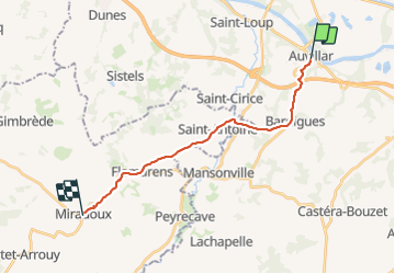

Length
17.3 km

Max alt
220 m

Uphill gradient
412 m
Km-Effort
23 km

Min alt
64 m

Downhill gradient
327 m
Boucle
No
Creation date :
2023-08-08 06:26:46.001
Updated on :
2023-08-08 13:10:12.087
4h26
Difficulty : Medium

FREE GPS app for hiking
 SityTrail
IGN / Geographical institutes
SityTrail Plus
The world is yours!
About
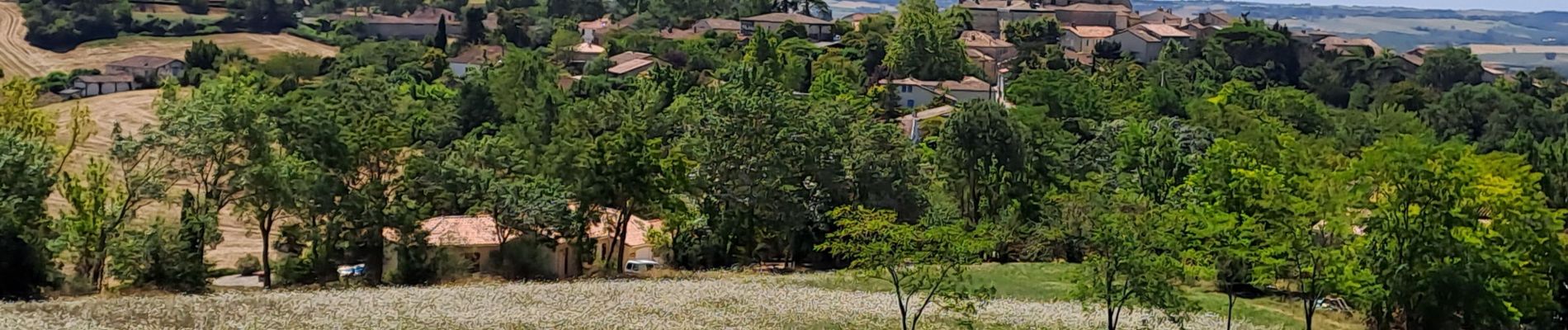
Trail Walking of 17.3 km to be discovered at Occitania, Tarn-et-Garonne, Auvillar. This trail is proposed by fab0202.
Description
belle rando entre auvillar et mirandoux en découvrant de beaux villages.
Photos


Positioning
Country:
France
Region :
Occitania
Department/Province :
Tarn-et-Garonne
Municipality :
Auvillar
Location:
Unknown
Start:(Dec)
Start:(UTM)
331795 ; 4881658 (31T) N.
Comments