


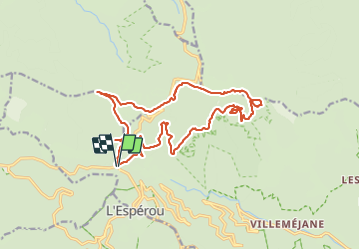

17.6 km | 23 km-effort


User


FREE GPS app for hiking
 SityTrail
IGN / Geographical institutes
SityTrail World
The world is yours!
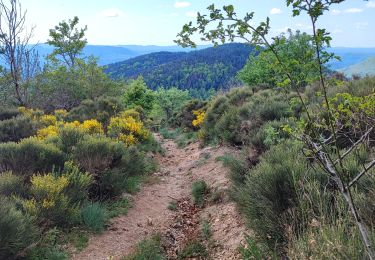
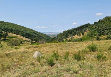
Trail Walking of 20 km to be discovered at Occitania, Gard, Val-d'Aigoual. This trail is proposed by labarone.
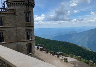
sympa belles vues


Walking

Walking
Walking
Walking

Walking
Walking
Walking
Walking
Walking