


Capdenac le fel

Glurps
User
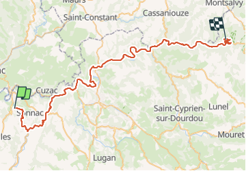

Length
66 km

Max alt
505 m

Uphill gradient
1257 m
Km-Effort
82 km

Min alt
173 m

Downhill gradient
936 m
Boucle
No
Creation date :
2023-08-08 10:45:16.0
Updated on :
2023-08-09 06:20:27.462

FREE GPS app for hiking
 SityTrail
IGN / Geographical institutes
SityTrail Plus
The world is yours!
About
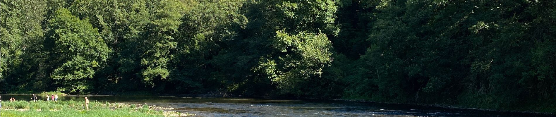
Trail of 66 km to be discovered at Occitania, Aveyron, Capdenac-Gare. This trail is proposed by Glurps.
Photos


Positioning
Country:
France
Region :
Occitania
Department/Province :
Aveyron
Municipality :
Capdenac-Gare
Location:
Unknown
Start:(Dec)
Start:(UTM)
426858 ; 4933767 (31T) N.
Comments