


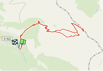

19.8 km | 35 km-effort

User


FREE GPS app for hiking
 SityTrail
IGN / Geographical institutes
SityTrail World
The world is yours!
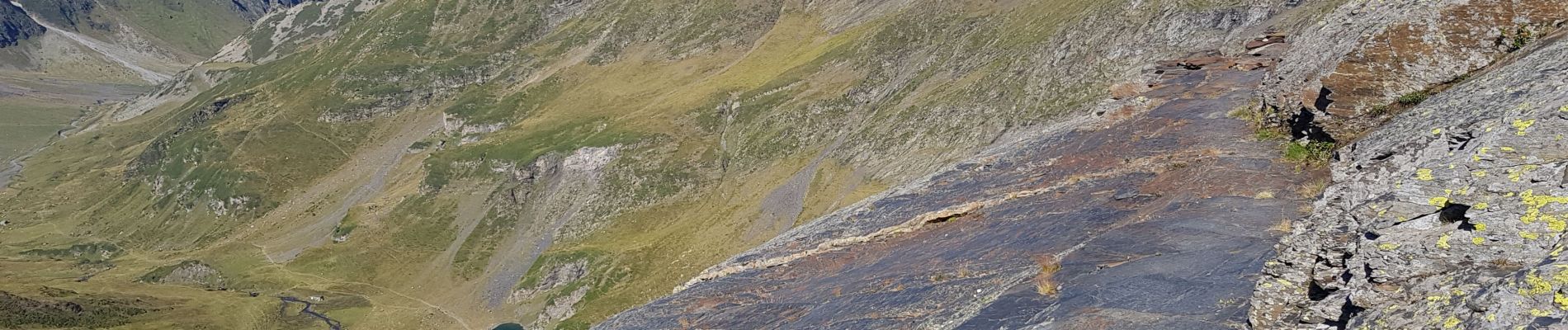
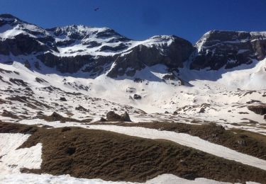
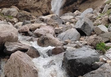
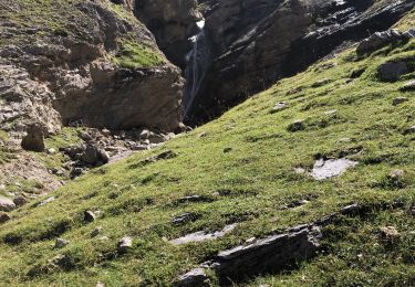
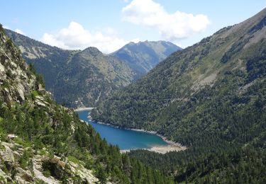
Trail Walking of 15.8 km to be discovered at Occitania, Hautespyrenees, Gavarnie-Gèdre. This trail is proposed by pffrench.
attention : se référer au chemin pris au retour. Erreur à l'aller, vers la fin du trajet. Il faut aller ver la cabane.


Walking
Walking

Walking
Walking
Walking
Walking
On foot
On foot

On foot