


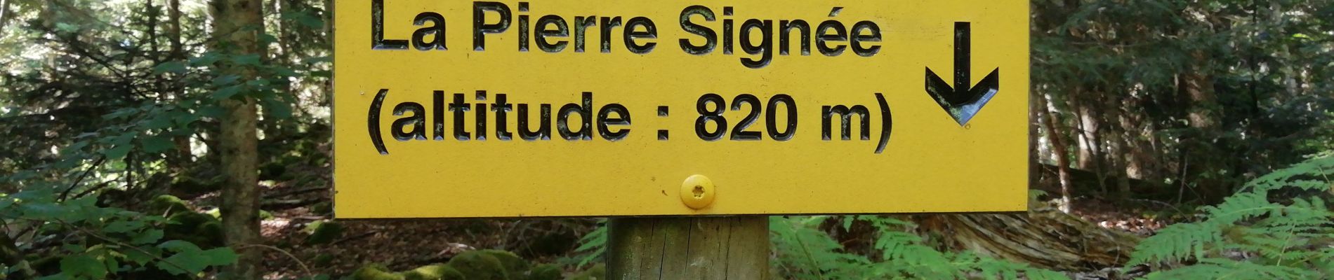
les Roches pierre signée

Papou63patrick
User

Length
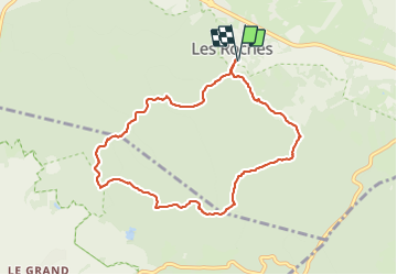
8.2 km

Max alt
936 m

Uphill gradient
154 m
Km-Effort
10.3 km

Min alt
814 m

Downhill gradient
153 m
Boucle
Yes
Creation date :
2023-08-09 12:06:47.201
Updated on :
2023-08-09 15:00:07.951
2h19
Difficulty : Easy

FREE GPS app for hiking
 SityTrail
IGN / Geographical institutes
SityTrail Plus
The world is yours!
About
Trail Walking of 8.2 km to be discovered at Auvergne-Rhône-Alpes, Puy-de-Dôme, Saint-Ours. This trail is proposed by Papou63patrick.
Photos


Positioning
Country:
France
Region :
Auvergne-Rhône-Alpes
Department/Province :
Puy-de-Dôme
Municipality :
Saint-Ours
Location:
Unknown
Start:(Dec)
Start:(UTM)
493491 ; 5073821 (31T) N.
Comments