


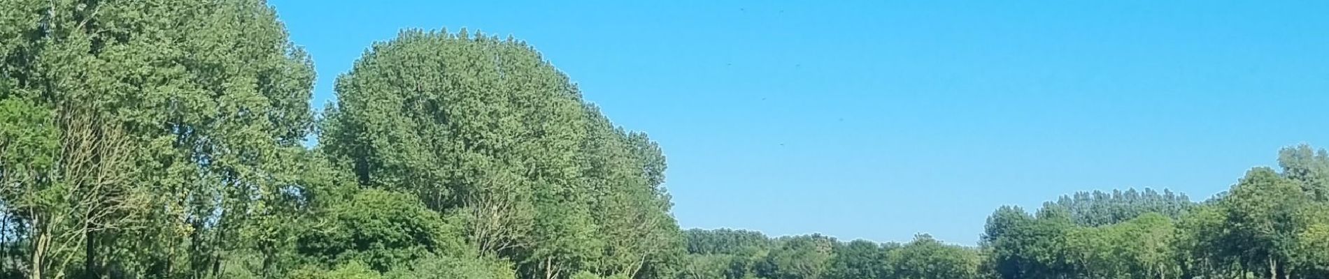
Vlaamse Ardennen

bometdehamer
User


5h42
Difficulty : Difficult

FREE GPS app for hiking
 SityTrail
IGN / Geographical institutes
SityTrail Plus
The world is yours!
About
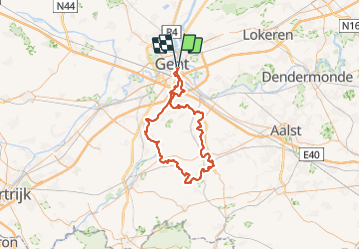
Trail Electric bike of 92 km to be discovered at Flanders, East Flanders, Ghent. This trail is proposed by bometdehamer.
Description
Mooie tocht vanuit Gent, langs KP. Eerst Scheldeland, daarna de heuvels van de Vlaamse Ardennen. Stevige kuitenbijters, oude watermolens, pittoreske dorpen.
Tussen KP 3 en het verkeersknooppunt in Merelbeke kan niet gefietst worden (aanleg brug). Kleine omweg en de route weer oppikken langs de Schelde aan het Liedemeerspark.
KP 31,5,82, omweg naar 3,1,99,98,82,81,80,93,86,95,94,96,10,13,18,25,22,20,14,94,96,11,9,4,3,51,52,53,67,57,54,47,39,37,31,41,97,98,99,1,3 (omweg),82,5,31.
Goed voor 92km
Photos


Positioning
Comments