


Col Blanchâtre

edevuyst
User

Length
2.9 km

Max alt
3085 m

Uphill gradient
585 m
Km-Effort
8.7 km

Min alt
2498 m

Downhill gradient
7 m
Boucle
No
Creation date :
2023-08-09 06:19:51.0
Updated on :
2023-08-11 08:00:57.806
1h27
Difficulty : Medium

FREE GPS app for hiking
 SityTrail
IGN / Geographical institutes
SityTrail Plus
The world is yours!
About
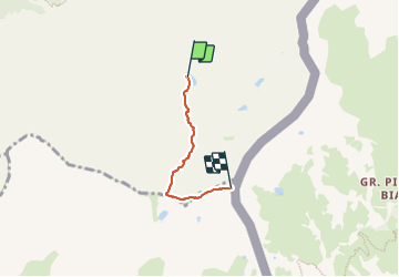
Trail Walking of 2.9 km to be discovered at Provence-Alpes-Côte d'Azur, Hautes-Alpes, Saint-Véran. This trail is proposed by edevuyst.
Positioning
Country:
France
Region :
Provence-Alpes-Côte d'Azur
Department/Province :
Hautes-Alpes
Municipality :
Saint-Véran
Location:
Unknown
Start:(Dec)
Start:(UTM)
336747 ; 4947928 (32T) N.
Comments