


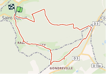

13.4 km | 15.9 km-effort

User


FREE GPS app for hiking
 SityTrail
IGN / Geographical institutes
SityTrail World
The world is yours!
Trail Walking of 11 km to be discovered at Grand Est, Moselle, Saint-Hubert. This trail is proposed by patign.
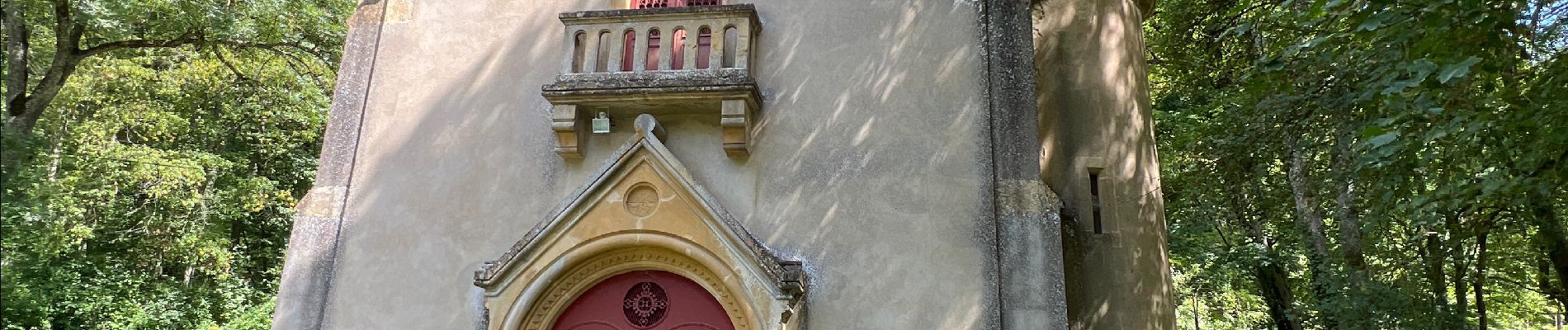
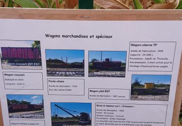
Sur le.chemin il y a l’arbre remarquable 2022


Walking

On foot

On foot
On foot
Mountain bike

Walking
Mountain bike

Walking