


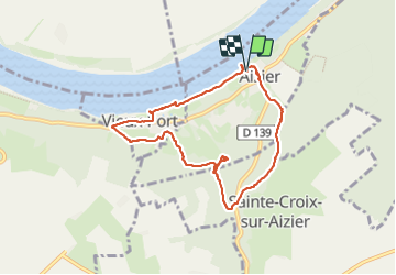

14.6 km | 18.6 km-effort

User


FREE GPS app for hiking
 SityTrail
IGN / Geographical institutes
SityTrail World
The world is yours!
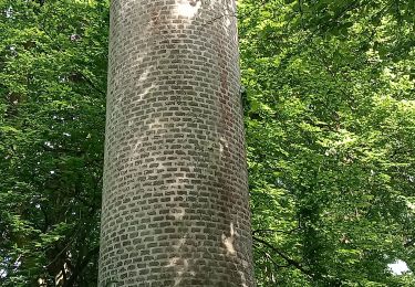
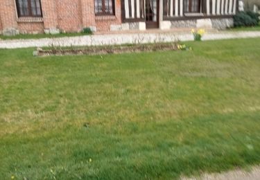
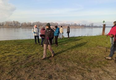
Trail Walking of 7.3 km to be discovered at Normandy, Eure, Aizier. This trail is proposed by Fky78.
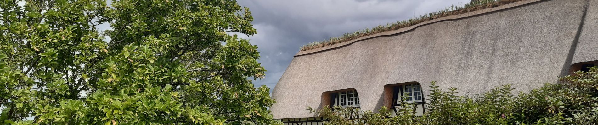
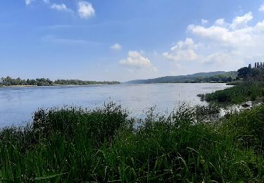
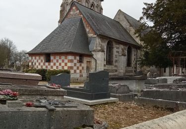
Jolie rando aux paysages variées


Walking

Walking
Walking
Walking
Walking
Walking
Walking
Walking

Walking