


Chemin des sources bleues

Fky78
User
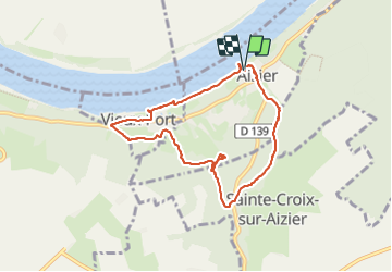

Length
7.3 km

Max alt
113 m

Uphill gradient
179 m
Km-Effort
9.6 km

Min alt
0 m

Downhill gradient
177 m
Boucle
Yes
Creation date :
2023-08-13 10:57:33.813
Updated on :
2023-08-14 20:28:44.567
2h11
Difficulty : Medium

FREE GPS app for hiking
 SityTrail
IGN / Geographical institutes
SityTrail Plus
The world is yours!
About
Trail Walking of 7.3 km to be discovered at Normandy, Eure, Aizier. This trail is proposed by Fky78.
Description
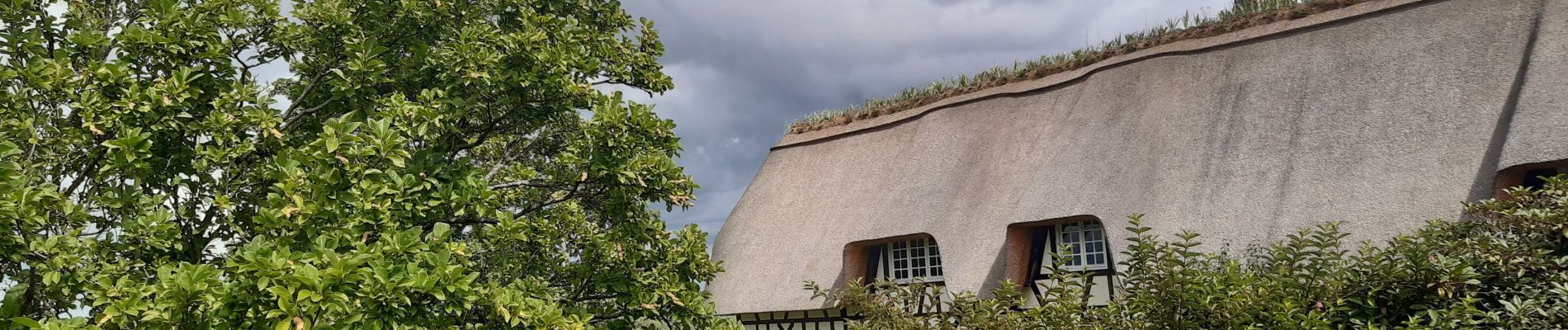
Jolie rando aux paysages variées
Photos


Positioning
Country:
France
Region :
Normandy
Department/Province :
Eure
Municipality :
Aizier
Location:
Unknown
Start:(Dec)
Start:(UTM)
327781 ; 5478105 (31U) N.
Comments