


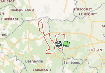

12.1 km | 14.7 km-effort


User


FREE GPS app for hiking
 SityTrail
IGN / Geographical institutes
SityTrail World
The world is yours!
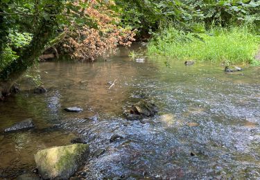
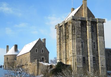
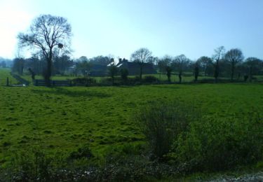
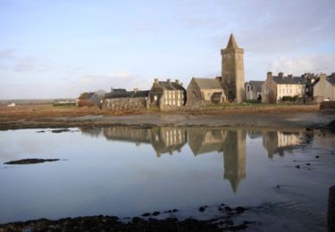
Trail Walking of 13.2 km to be discovered at Normandy, Manche, Saint-Sauveur-le-Vicomte. This trail is proposed by chessyca.


Walking

Walking
Walking
Walking

Walking
Mountain bike
Mountain bike
Mountain bike