


laurac

enthalpie
User

Length
8.7 km

Max alt
299 m

Uphill gradient
212 m
Km-Effort
11.6 km

Min alt
200 m

Downhill gradient
216 m
Boucle
Yes
Creation date :
2023-08-14 06:31:28.167
Updated on :
2023-08-14 16:45:41.36
2h37
Difficulty : Medium

FREE GPS app for hiking
 SityTrail
IGN / Geographical institutes
SityTrail Plus
The world is yours!
About
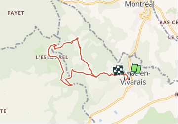
Trail Walking of 8.7 km to be discovered at Auvergne-Rhône-Alpes, Ardèche, Laurac-en-Vivarais. This trail is proposed by enthalpie.
Description
départ de Laurac visite des bords de la rivière du Blajoux
organisée par Laurent guide pour Cap france
Positioning
Country:
France
Region :
Auvergne-Rhône-Alpes
Department/Province :
Ardèche
Municipality :
Laurac-en-Vivarais
Location:
Unknown
Start:(Dec)
Start:(UTM)
602487 ; 4929163 (31T) N.
Comments